
University of Florida GeoPlan Center
The Geo-Facilities Planning and Information Research Center, or GeoPlan Center, was established in 1984 as a response to local and statewide needs for a teaching and research environment in Geographic Information Systems (GIS). The Center is affiliated with the Department of Urban and Regional Planning, in the University of Florida's College of Design, Construction and Planning.
See below to learn about our current projects.
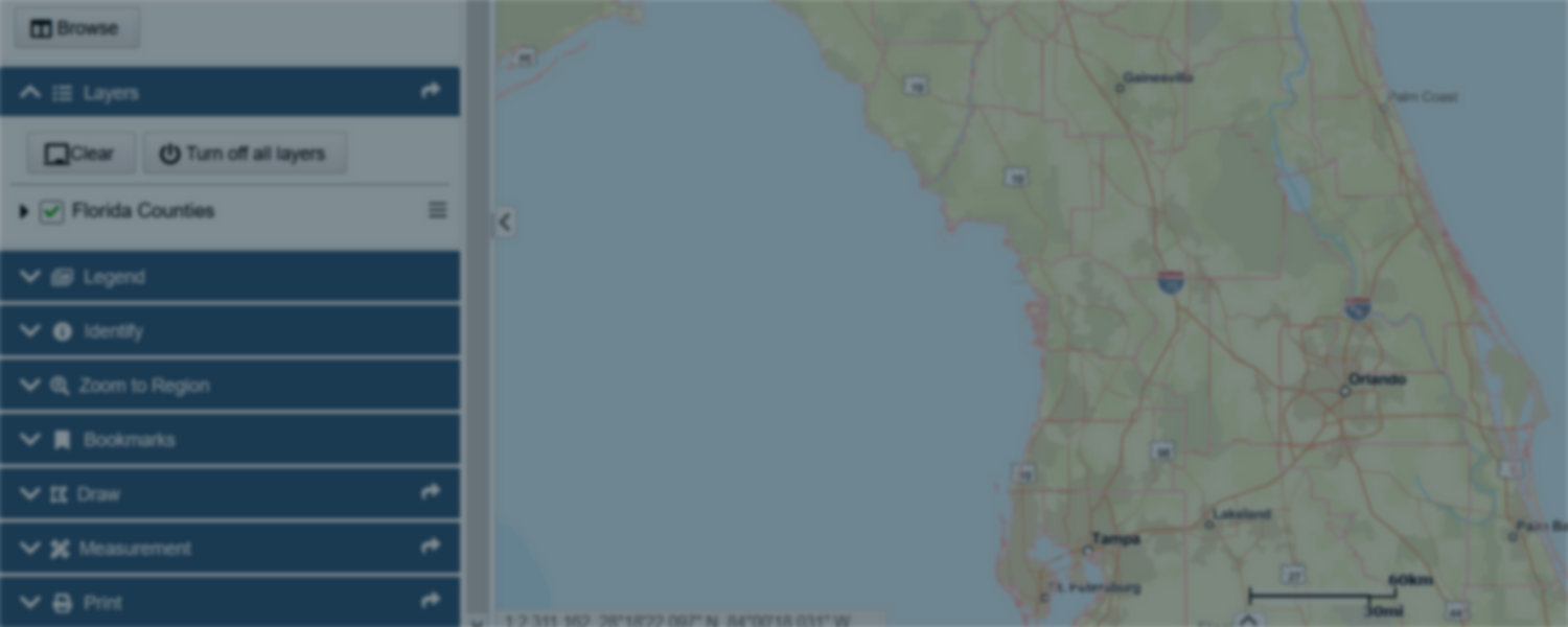
Florida Geographic Data Library (FGDL)
Geospatial data for all. Online library of free and standardized digital geospatial data for Florida
Read More "Florida Geographic Data Library (FGDL)"

Efficient Transportation Decision Making (ETDM)
Environmental streamlining, coordination, and data integration for transportation planning
Read More "Efficient Transportation Decision Making (ETDM)"

Signal4 Lab
Crash mapping and analysis system for law enforcement, traffic engineering, and transportation planning
Read More "Signal4 Lab"


Collaborations


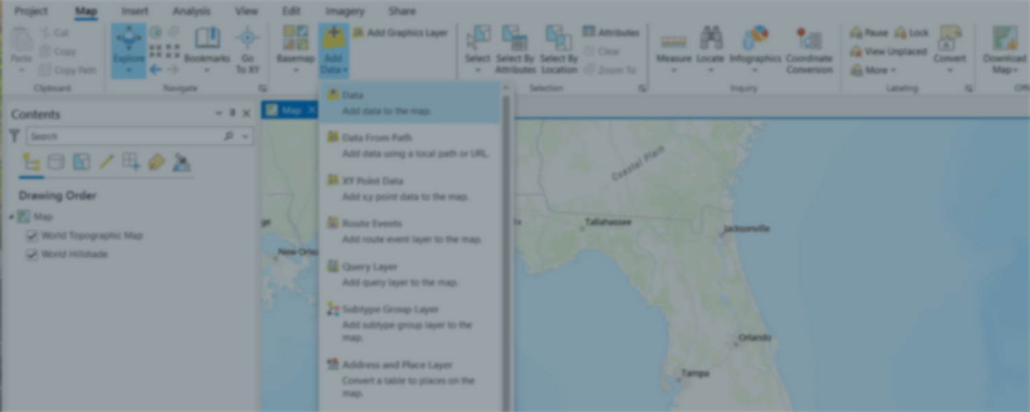
Geospatial Services
In addition to funded research projects, the GeoPlan Center engages in teaching and service for the University.
Software
Get access to GIS software for educational, research, and institutional purposes.
Read More "Software" Services
Tap into the range of GIS expertise and consulting skills offered by the team at the GeoPlan Center.
Read More "Services"